|
|
|
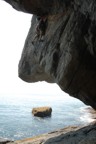
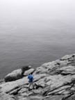
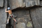
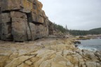
| Acadia (map) |
|
|
|
|
|
|
|
|
|
|
|
|
|
|
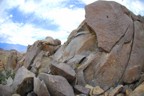
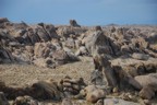
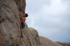
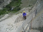
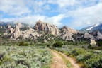
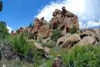
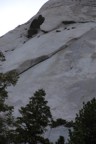
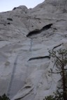
| Alabama Hills (map) |
|
|
|
|
|
|
|
|
| Angel Falls (map) |
|
|
|
|
|
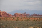
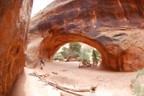
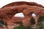
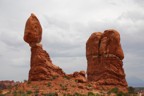
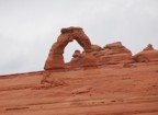
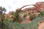
| Arches (map) |
|
|
|
|
|
|
|
|
|
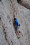
| Bishop Creek (map) |
|
|
|
|
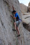
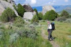
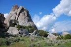
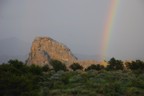
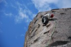
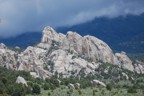
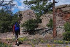
| Castle Rocks (map) |
|
|
|
|
|
|
|
|
|
|
|
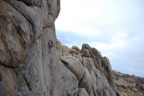
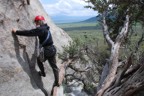
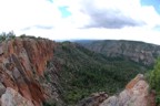
| Cochiti Mesa (map) |
|
|
|
|
|
|
|
|
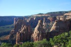
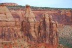
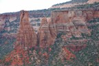
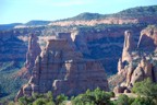
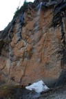
| Colorado National Monument (map) |
|
|
|
|
|
|
|
|
|
|
|
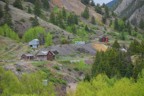
| El Rito (map) |
|
|
|
|
|
|
|
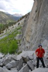
| God's Crag (map) |
|
|
|
|
|
|
|
|
|
|
|
|
|
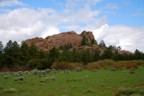
| Granite Mountain (map) |
| Owens River Gorge (map) |
|
|
| Questa Dome (map) |
|
|
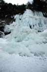
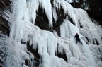
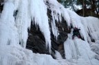
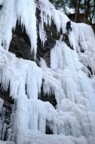
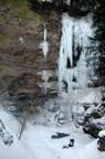
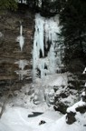
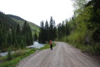
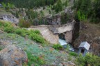
| Rifle (map) |
|
|
|
|
|
|
|
|
| Rock Creek (map) |
|
|
|
|
|
|
| Rock Garden (map) |
|
|
|
|
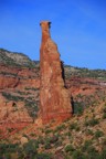
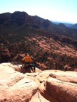
| Sedona (map) |
| Tres Piedras (map) |
|
|
|
|
|
|
|
| Whitney Portal (map) |
|
|
|
|
|
|
|
|
|